


Suez Canal History :
The Suez Canal, located at the crossroads of Asia, Europe, and Africa, is one of the world's most important waterways.
Opened in 1869, the sea-level artificial waterway crosses the narrow Isthmus of Suez joining Africa and Asia and permits
oceangoing vessels to travel between the eastern end of the Mediterranean Sea and the Indian Ocean via the Gulf of Suez
and Red Sea. The canal is owned and operated by Egypt and separates the main part of that country on the west bank from
the Sinai Peninsula on the east bank.
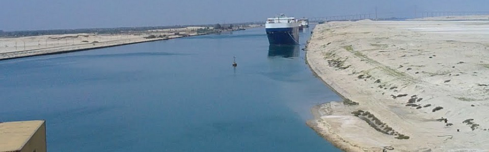
The northern terminus is Port Said on the Mediterranean Sea. The canal extends southward in a nearly straight line across
the eastern edge of the salt-marsh area of Lake Manzala and over the red desert soils of the isthmus to reach its midpoint at
the northern end of Lake Timsah. It continues southward through Lake Timsah, where Ismailia and the administrative
headquarters of the canal are located, then southward and southeastward through the Great and Little Bitter lakes (now a
single lake) and southward again past the city of Suez to reach the Gulf of Suez at Port Taufiq. The canal has a total length--
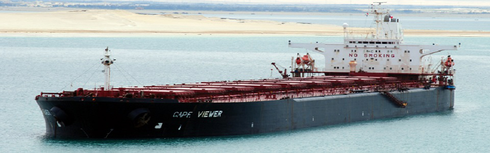
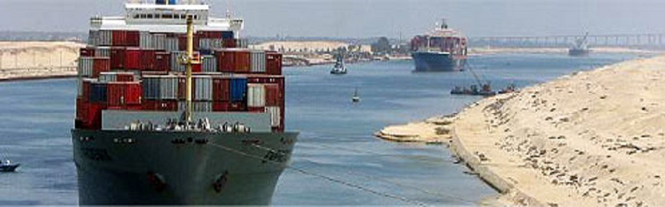
including channel approaches at each end--of 169 km (105 mi.) and handles about 60 vessels a day.
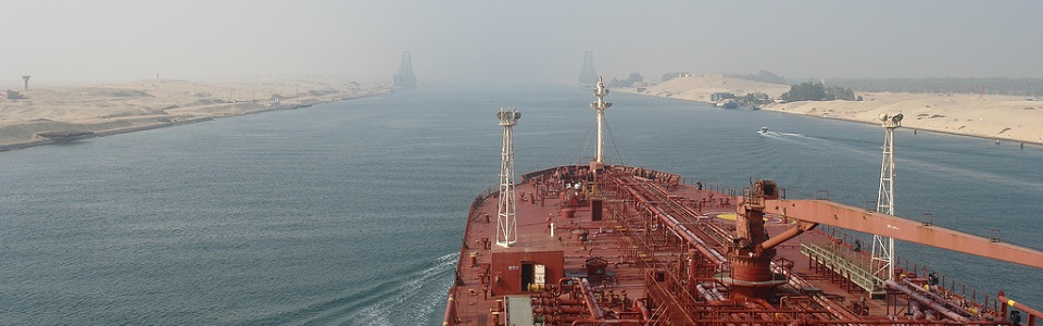
Widened and deepened over the years, it now handles ships with a maximum draft of 16.2 m (53 ft). No locks interrupt
traffic, and transit time averages about 14 hours.
The canal is strategically and economically important because it shortens the distance between Europe and the Far East. For
example, the distance from London to Bombay is approximately 20,000 km (12,400 mi.) via the coast of Africa, or 42% longer
than the 11,700 km (7,270 mi.) via the canal. In the early 1960s, 15% of all world trade moved through the canal, and
petroleum from the Persian Gulf accounted for 75% of the canal's business. By the end of the 1970s, however, much
petroleum was transported by supertankers too large for the canal or by pipeline across Egypt or Israel, and the canal
accounted for only about 4% of world trade, 32% of which was petroleum. Between 1975 and 1980, in a major expansion
project, the canal was widened and deepened to enable it to accommodate larger vessels. In 1989 the canal carried a total of
265,800 metric tons of freight, of which petroleum accounted for more than one-third.
The present water route between the two oceans was preceded as early as the 19th century BC by an east-west canal from the
Nile River to the Red Sea. It was filled in for military reasons in AD 775 by Caliph Abu Jaafer Abdullah al-Mansur. In 1798,
Napoleon Bonaparte ordered a survey made in 1799 for a direct canal from the Mediterranean Sea to the Red Sea, but the
project was abandoned when the French survey team mistakenly concluded that a sea-level canal was impossible. In 1854 and
1856, Ferdinand de Lesseps obtained rights from Said Pasha, khedive of Egypt, to establish a company to build and operate
for 99 years a canal open to the ships of all nations. Construction was completed in 1869 at more than double the originally
estimated cost of $41,860,000. The United Kingdom acquired a controlling interest in the company when the debt-ridden
khedive, Ismail Pasha, was forced to sell his holdings in 1875.
In 1888 freedom of passage for all ships of all nations in peace and in war was guaranteed by the Convention of
Constantinople, the United Kingdom guaranteeing those and its own rights to the canal after Egypt became independent in
1936. Israel, created in 1948, was, however, denied passage after the first of the Arab-Israeli Wars, although cargoes
destined for Israel on non-Israeli ships were permitted in 1952-53, 1957-59, and after 1975. Egypt's President Gamal Abdel
Nasser precipitated the Suez Crisis on July 26, 1956, by nationalizing the canal company 12 years before the 99-year lease
was to end and by blocking Israel's access to the Strait of Tiran and the Gulf of Aqaba. In October 1956, Israel occupied the
Sinai Peninsula, and the United Kingdom and France occupied positions along the canal. The troops of these three nations
were replaced by a United Nations Emergency Force in November 1956. The canal was reopened to non-Israeli traffic in April
1957 and turned over to Egypt, which eventually compensated the former shareholders in 1958.
During the Six Day War (1967) between Egypt and Israel, ships were sunk by Egypt to block the waterway, and it remained
closed for 8 years. Israeli shipping rights were restored by the signing of the Egyptian-Israeli peace treaty on Mar. 26, 1979.
In 1989, 17,628 vessels passed through the canal. The first of several tunnels under the canal was opened to traffic in 1980.
Characteristics of the current canal lengths
Total Length of the navigable canal 192 KM
From Port Said to Ismailia 78 KM
From Ismailia to Port Tewfik 84 KM
Double parts of the canal 84 KM
Breadth between buoys 180 M
Maximum possible draft of ships 58 FT
Airdraft from July 2000 68 M


Copyright ® 2014 Sanmar.gr À All Rights reserved À E-Mail: sanmar@sanmar.gr Disclaimer À Privacy Policy